UEW Hosts Seminar on How GIS and Remote Sensing Are Reshaping Disaster Management
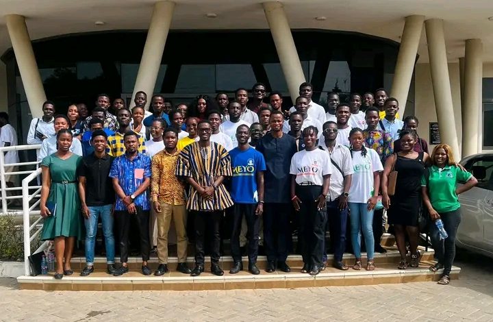
The Department of Geography Education at the University of Education, Winneba has held a seminar spotlighting the expanding role of Geographic Information Systems (GIS) and Remote Sensing in strengthening Ghana’s national disaster preparedness and response systems.
Opening the event, Osman Adams underscored the critical value of spatial thinking in understanding environmental processes and informing decisions that shape communities.
A keynote presentation was delivered by Emmanuel Amoako, who detailed how the National Disaster Management Organisation (NADMO) has evolved from conventional, reactive disaster responses to a modern, technology-driven model. He explained that NADMO now deploys Earth Observation tools—integrating GIS, Remote Sensing, and Artificial Intelligence—to forecast hazards, analyse risk, and coordinate early interventions nationwide.
Mr. Amoako emphasised the centrality of precise data and impact-based forecasting, noting that effective disaster planning must prioritise vulnerable populations such as children and persons with disabilities.
The seminar offered students practical exposure to how digital geospatial technologies are reshaping disaster risk management and strengthening Ghana’s overall resilience in the face of climate-related and environmental threats.